Only a solitary cormorant now keeps watch over the silted-up river.
Before the Romans came, Vejer was 'Beser' - the castle by the river. The river Barbate was the life-blood of Vejer for three millennia. Goods were brought here for transportation to and from the sea-port of Barbate by Tartessians, Romans, Goths and Moors. The Dukes of Medina Sidonia established a major river-port here - La Barca de Vejer.
 |
La Barca in the 1930s, the banks still clear.
La Cuesta de la Barca winds upwards
on the left.
 |
A 'barca' is a boat or ferry. 'La Barca' was the name given to the area before the first bridge was built in the 17th century.
La Barca was a separate town which first appears in the records in 1571 as a busy river-crossing from where goods were transported to Medina Sidonia.
La Barca continued to be a busy port until the late nineteenth century, and an important source of prosperity in Vejer. Its natural features included a cave system able to hold '100 mounted men', which offered a system of
storing and protecting goods. Today, the caves are closed to the public, though
we can see a small section in the patio of the Venta Pinto restaurant.
Business in the port gradually decreased as road transport improved and the river port was closed in 1928. The machinery was cleared away and the river left to silt up. All we can see now is the space where the busy wharves and waterside inns and cafes once were and the area has become a haven for wildlife.
 |
The Northern Bald Ibis has been helped to
establish a colony at La Barca |
Walk a few steps to the west and check out the re-introduced Northern Bald Ibis which has taken up residence at La Barca. Stephen Daly of Andalucían Tours tells its story here:
northern_bald_ibis_in_cadiz_province_andalucia
The
legend that there is a secret passage from the Castle to the two wells at La
Barca has never been proved nor disproved, but as these wells provided Vejer's
only water supply, it has a basis in logic.
We can imagine that until piped water was made available, the road up to
town would have been crowded with donkeys and mules, all loaded
with barrels. That road is called La Cuesta de La Barca (La Barca Hill).
La Barca is now more of a backwater than a port, and has been merged with Vejer. It has lost its parish church, but still possesses two good restaurants, The Venta Pinto and LaFau. It is also the stopping-off point for inter-city buses.
If you arrive by bus, you can get a taxi from La Barca up the hill to Vejer, but don't forget your fare in cash (about 7-8 Euros depending on the ime) or you'll have to do what I did - walk. It takes about 40 minutes to walk up from La Barca to Vejer and 15-20 minutes to walk down.
Very few remains of La Barca's past as a port remain but this old steam roller marks the beginning of La Cuesta de la Barca. With your back to the restaurant, turn right and follow the road a short distance to where the path begins on the right.
As you climb, you'll see the contours of the former wharves from above. If you'd prefer to take a stroll downhill instead of up, scroll down and start from the bottom. You can then a enjoy a refreshing drink before taking a taxi back up the hill!
 The path is paved and easy to walk on, so there's no need for special walking boots but be careful when it rains.
Spring green is beginning to show everywhere.
A solitary Prickly Pear awaits harvesting.
This house is for sale, though I don't know when they last had a viewing...
As you get to the top, you can see the outline of the former La Janda lake, which was drained in the late nineteenth century. The area is now used for growing rice.
 The end of the trail. This street is called 'Arrieros' (mule drivers). Like midwives, muleteers were considered unclean and had to live outside
the town boundary. Being close to the road was probably convenient as well.
The end of the trail. This street is called 'Arrieros' (mule drivers). Like midwives, muleteers were considered unclean and had to live outside
the town boundary. Being close to the road was probably convenient as well.
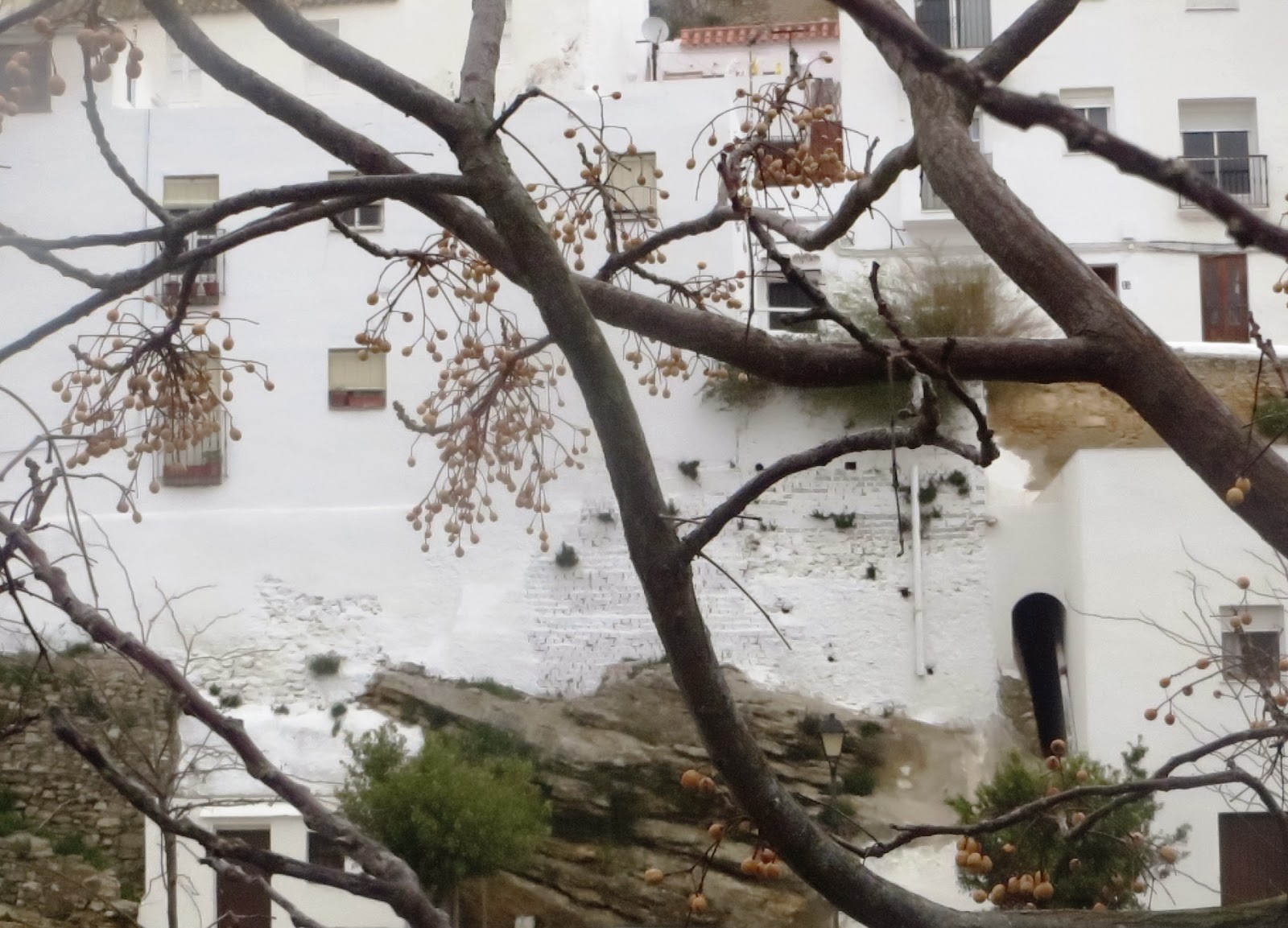
Many of Vejer's houses are built directly onto the rock. Turn left at the car park here and climb up the flight of steps. Continue to climb towards the Plaza de España.

The Mayorazgo tower and the bell tower of the Convento de la Merced are visible on the skyline. Nearly home!
Turn here onto the Plaza de España. The street is named after the sausage-making workshop which dealt with offal from the adjacent slaughterhouse.
| 


Lovely, not surprised you chose to live here.
ReplyDeleteWonderful blog thank you. Keeps us in the frozen tunbra warm dreaming of milder climes. Im curious about the area during the 1930s -- I've read a little about the Benalup massacre -- would be interested to hear any additional information you have on the Civil War years.
ReplyDelete